PEMSEA Field School Blog 2023: Day 3
- Post by: admin
- June 24, 2023
- No Comment
Anne Margarett Moll
Partido State University
Saturday, June 24
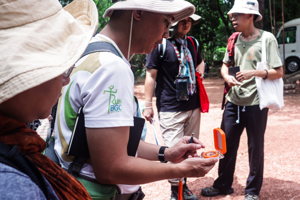
Today was mapping day! We began the day by building a deeper connection with the area, by roaming around and drawing our own rough sketch of the whole area with its infrastructures like the old and new Vihara. But before that, we had to get our pace factor. Pace factor is basically a ratio of recorded distance to number of paces taken by a person to cover the measured distance. And that’s exactly what we did. Kompheak, our supervisor, laid down a 10 meter tape measure for us to walk through and counted the number of steps we took, then divided it by 10 meters. Pace factor is used in the pace and compass mapping of an open traverse (when the traverse starts at one point and ends up in a different point). Just by a simple walk from pacing, we can already measure a linear path, while knowing the directions the compass will be of use with respect to the magnetic north. We used this mapping method for easy and quick surveys for us to be familiar with the place. Then, we practiced measuring some points using our pace factor and compass at random places.
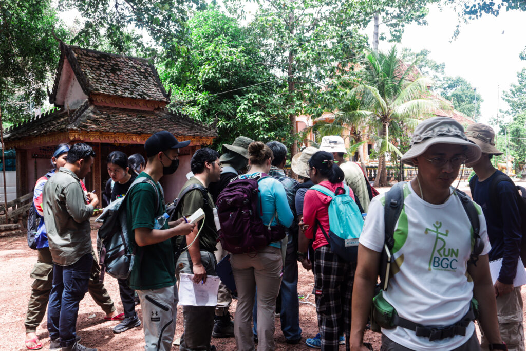
Moreover, we got to learn what datum points are and how to determine a good spot for them. Datum points identify known locations to begin surveys and create maps. In locating it, we just needed to look for a spot where the recent datum point is still visible and it should be not that close to the edge of the mound. After that, we were separated into two groups to do the pace and compass mapping. The first group were assigned to map the southern area while the second group were assigned the northern area. At first we were hesitating and figuring out what to do and who should do the different parts of the process, but when Kompheak taught how to start and gave some suggestions to equally divide the tasks, we eventually and slowly got into the process. Kompheak also tasked us to get the data for the new and old Vihara.
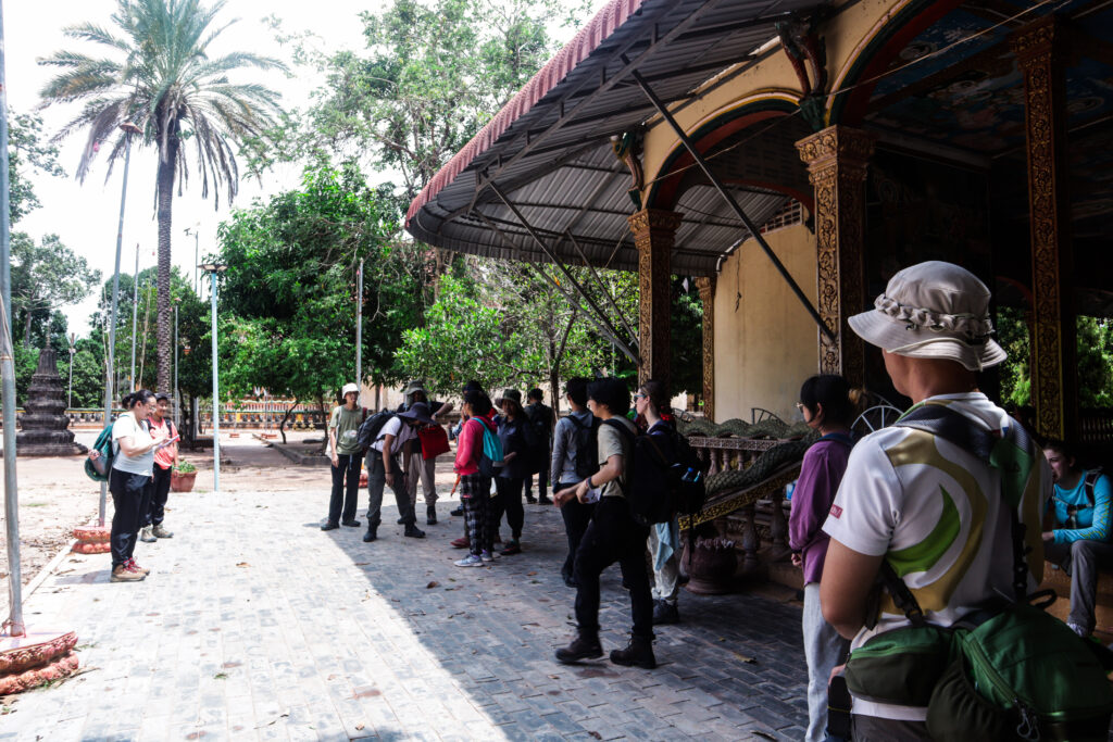
Mapping the site helps a lot in recognizing the place and spaces of the area, it lets us know our surroundings, where significant things (e.g. bathroom, entrance, exit, where trenches are placed) are located. Knowing the geography of the place is also significant, as a field schooler, I would always want to grasp information of the place I’ll be working at so that I can prepare for the different circumstances such as the climate, environment, culture, systems, and landscapes.
Even if we’re doing different tasks and get confused in reading the compass, most of us, especially me, enjoyed the activity. It also became somehow the turning point for us to be close to each other; to get to know how everyone’s way of work is done so that we can adjust to each other’s actions. All in all, we finished the data collection successfully, the datums were all set up in great points, the measurements were pretty much accurate, and the angles were mapped good. Plotting these points in the paper would be easy because of it.
This is exactly one of my goals in this field school. Aside from testing my limits, I also want to learn different methods from what geology students usually do. Since we do mapping frequently and we’re also learning about places, it’s critical to have a deeper connection and understanding to the field site to be able to move comfortably with the knowledge of the restrictions.
Contrary to the claim of geology being a ‘technical field’, I want to challenge this claim to open a conversation to be adaptive, flexible, and engaging to the needs of the people. Building bridges to the people involved while geology is in pursuit of destruction will be a way to understand the purpose of its methodologies, which is to produce knowledge. With this, the community became part of our research process — that is similar to how archaeology is being decolonized.